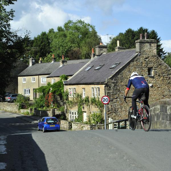
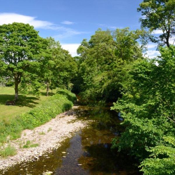
At one time Wray was a local textile centre with silk mills, tanners and coopers, clog and basket makers, taking advantage of the fast flowing waters of the Roeburn and Wenning.
The narrow bridge over the River Wenning marks the boundary of the old Norman Lordship of Lonsdale. Wennington Hall dates originally from the 14th century.
Waddington
The village gets its name from Wadda, an Anglo Saxon chief, it is home to a babbling brook and the beautiful Coronation Gardens.
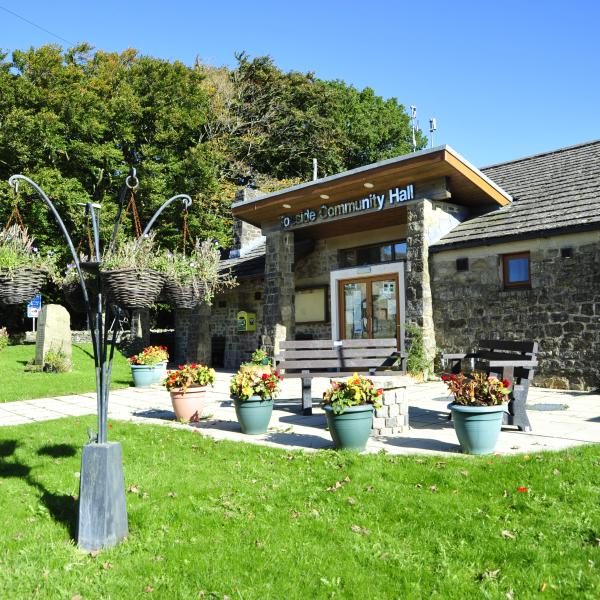
Tosside
Tosside's origins go back to the dark ages when Britain was invaded by the Vikings. It's name comes from two old Scandinavian words - 'Tod' meaning fox and 'saetr' meaning high summer pasture.
Scorton village in the parish of Nether Wyresdale, along the road from Garstang, developed around the cotton mill and railway in the nineteenth century.
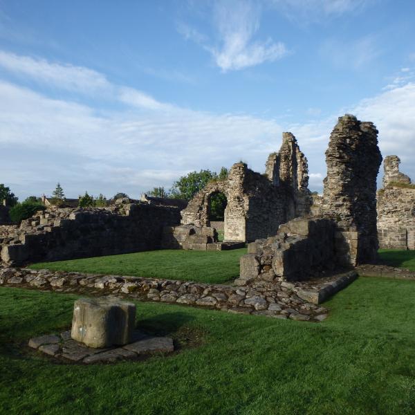
Sawley village grew up around the ruined Sawley Abbey, on the banks of the river Ribble. Its name refers to 'the damp spot where the willows grow'. The Abbey was founded by William Percy II in 1147.
Sabden
Sabden was a farming valley from the 13th century onwards, and you can still see the remains of 'vaccary walls' from this time in some areas.