Towns and Villages

Gateway Towns

  • Barrowford

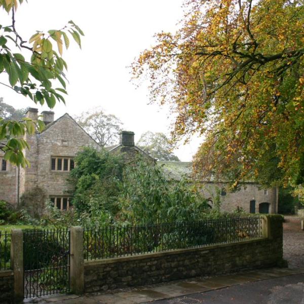
    Barrowford developed as a weaving town and in its heyday the textiles industry operated 10,000 looms in Barrowford and employed several thousand local people

    view of Pendle Heritage centre
  • Bentham

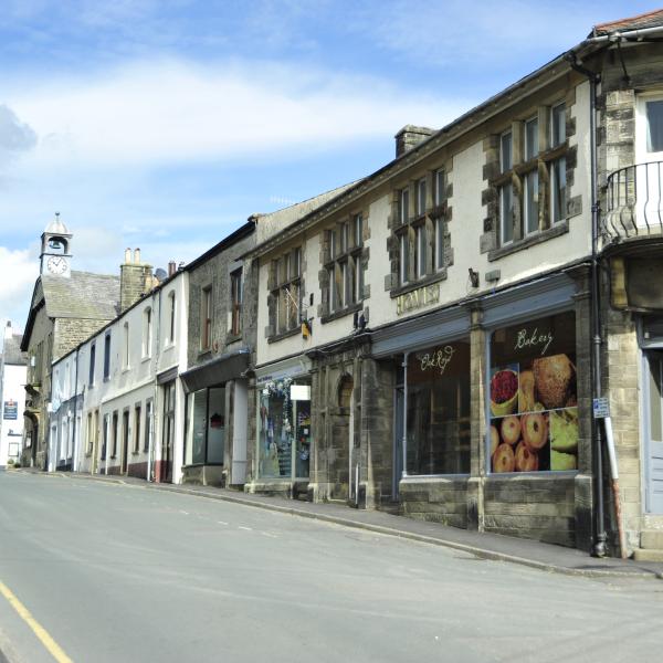
    Bentham is truly a delightful corner of the Yorkshire Dales and provides an ideal base for walking, pony trekking, cycling or touring holidays

    view of street in Bentham
  • Clitheroe

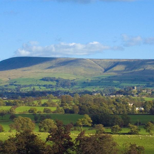
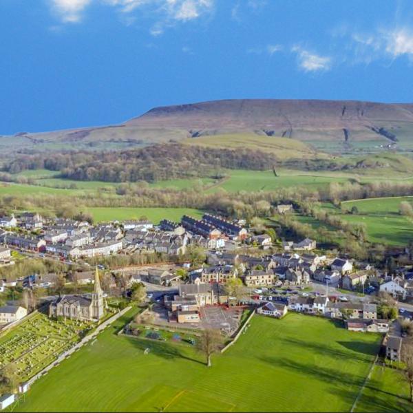
    The bustling market town of Clitheroe lies in between the Forest of Bowland National Landscape's main upland block and the outlier of Pendle Hil

    view of Clitheroe with Pendle Hill in the background
  • Garstang

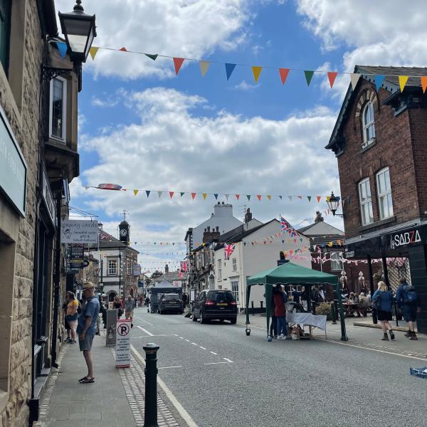
    Garstang is situated on the River Wyre. The history of this market town goes back thousands of years with Neolithic and bronze Age artefacts found in the area

    view of street in Garstang
  • Lancaster

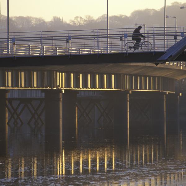
    This city and port still retains much of its character and provides an excellent historic gateway by road or rail to the Forest of Bowland. It was originally the site of a Roman fortress and a crossing of the River Lune

    cyclist on bridge crossing rive lune
  • Longridge

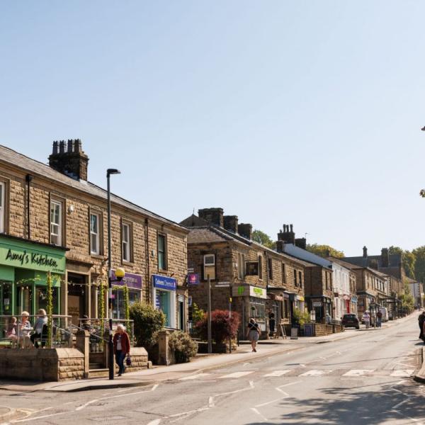
    The market town of Longridge commands a view of the whole of the Fylde Plain. From the top of Longridge Fell it is possible to see the Welsh Mountains, the Isle of Man, Ingleborough and the Loud Valley

    view of street in Longridge
  • Preston

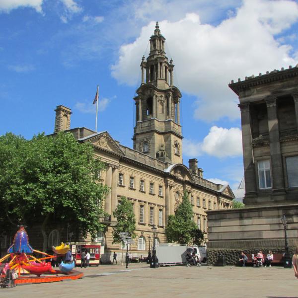
    Situated in the heart of the colourful county of Lancashire, Preston is the gateway to the surrounding beautiful landscape and historical sights. Preston is the largest and most important commercial centre in Lancashire and it attracts hundreds of thousands of visitors each year

    View of the Flag Market in Preston
  • Settle

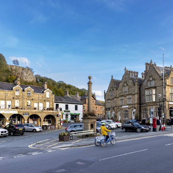
    Settle is a bustling market town in the foothills of the Pennines amongst some of the most picturesque scenery in North Yorkshire. The town stands beside the largest outcrop of limestone in Britain - in a region of scars, cliffs, caves and potholes

    view of Settle

Villages

  • Abbeystead

    Nothing much is known of the history of Abbeystead before the Norman Conquest, except that it was occupied from at least the middle of the prehistoric period. The name is derived from "The site of the Abbey" and relates to the short-lived presence of a house of Cistercian monks in the reign of Henry II.

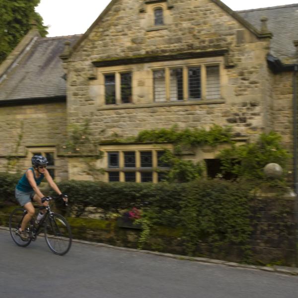
    cyclist riding past a historic house
  • Barley

    Barley, or Barleegh as it used to be known, is the most popular place from which to climb Pendle Hill. The village has a large car park, picnic site and information centre to cater for the many walkers who visit.

    Barley
  • Bashall Eaves

    Bashall Eaves stands on the banks of the river Hodder in the parish of Mitton.

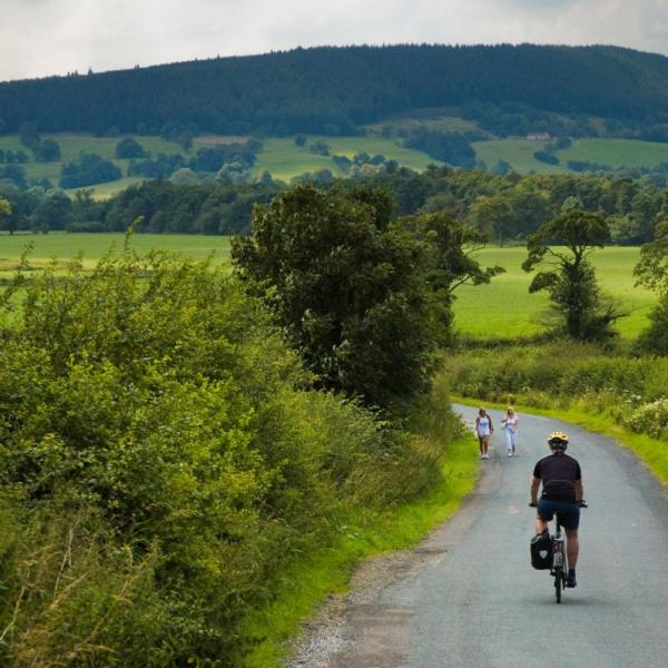
    cyclist and walkers on rural road
  • Bolton by Bowland

    Bolton-by-Bowland is a tranquil and charming little village, with two village greens. The smaller green contains the remains of a 13th Century stone cross and old stocks.

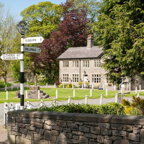
    heritage road sign with buildings in the background
  • Brock

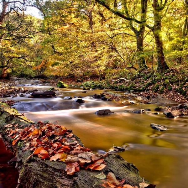
    The rural settlement of Brock lies at the northern end of the historic parish of Myerscough and Bilsborrow.

    river running past autumn trees
  • Calder vale

    Calder Vale, despite its remote and beautiful setting is very much a working village and you can still hear the clatter of the weaving looms when the mill is working.

    view of street in Calder Vale
  • Caton & Brookhouse

    Caton lies amidst woodland and farmland in the beautiful Lune Valley.

    arial view of Caton
  • Chatburn

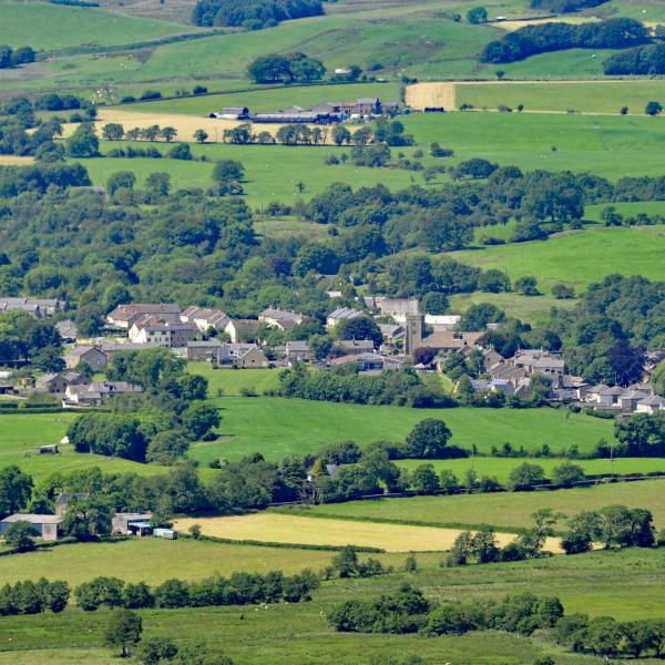
    Chatburn takes its name from St Chad, an Anglo Saxon saint. Built between two ridges at the foot of Pendle Hill and near to the river Ribble.

    arial view of Chatburn
  • Downham

    Nestling under the bulk of Pendle Hill this is one of the loveliest villages in Lancashire, quiet and unspoiled, with a gurgling brook running past the village green and stone-built cottages.

    Downham
  • Dunsop Bridge

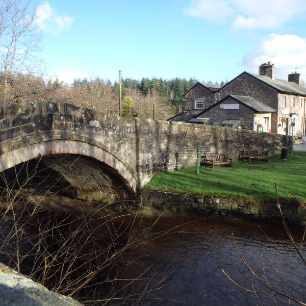
    Dunsop Bridge is the entrance to the famous Trough of Bowland. Lovely winding paths from here through the moors to Lancaster are popular with thousands of fell walkers.

    bridge crossing river
  • Eldroth & Lawkland

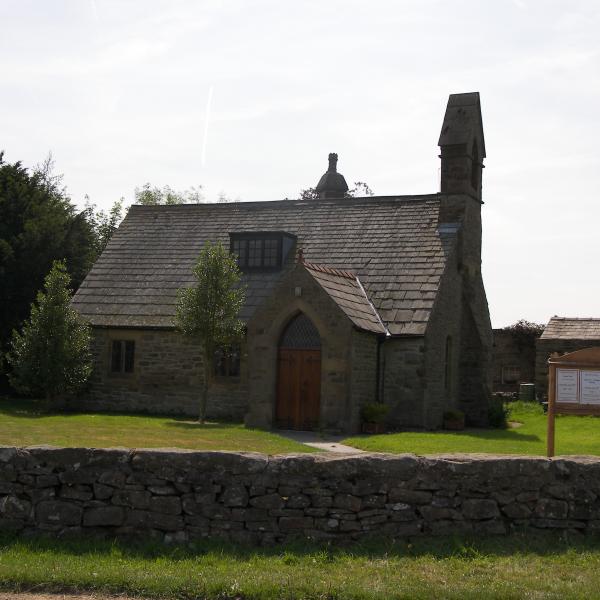
    The little church at Eldroth was built around 1627 as a chapel and school house, The chief point of interest amongst the scattered farmhouses that go to make up Lawkland is the hall.

    church in Eldroth
  • Grindleton

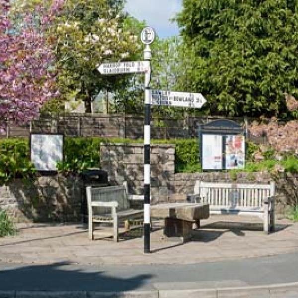
    Grindleton is situated on a terrace above the River Ribble with superb views of Pendle Hill. It is a Saxon planned village climbing linearly up the fell, parallel to Grindleton Brook.

    heritage signpost in Grindleton
  • Hornby

    The Lune Valley was at one time a major route through to Scotland and the North East. It retained a strong coaching trade throughout the 18th century.

    Hornby
  • Hurst Green

    The beautiful and idyllic village of Hurst Green is situated in the heart of the Ribble Valley. The village is reputed to be haunted by the Highwayman Ned King, who is thought to be the ghostly figure seen riding through the village late at night.

    cottages in Hurst Green
  • Long Preston

    This small village on the A65 and the river Aire lies between Bowland and the Yorkshire Dales.

    St Marys Church in Long Preston
  • Newchurch in Pendle

    Newchurch clings to the southern slopes of Pendle Hill. The village is famous for St Mary's church and its curious 'eye of God' on the tower which watches over the village.

    church in Newchurch
  • Roughlee

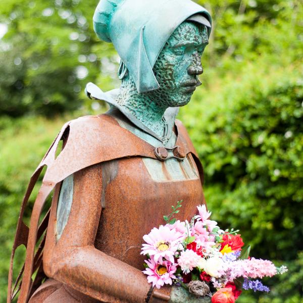
    Roughlee is probably best known for its links to the Pendle Witches story, and its proximity to Pendle Hill.

    image of a sculpture
  • Sabden

    Sabden was a farming valley from the 13th century onwards, and you can still see the remains of 'vaccary walls' from this time in some areas.

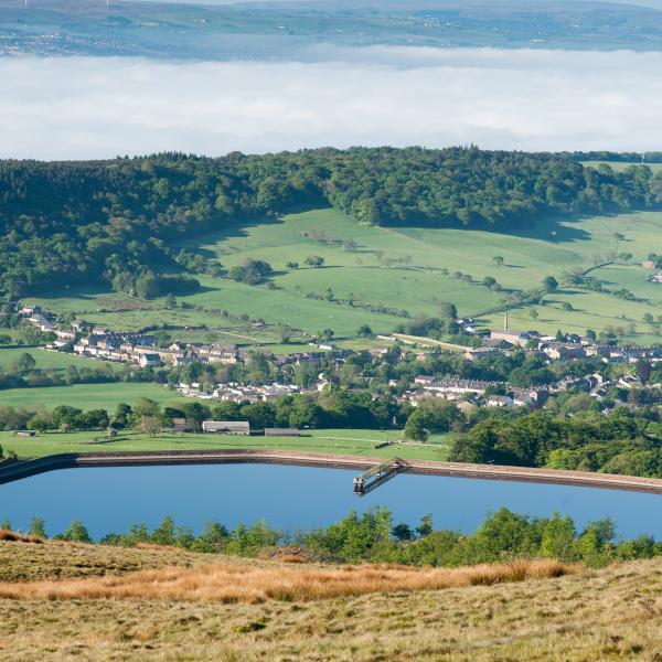
    Arial view of Sabden
  • Sawley

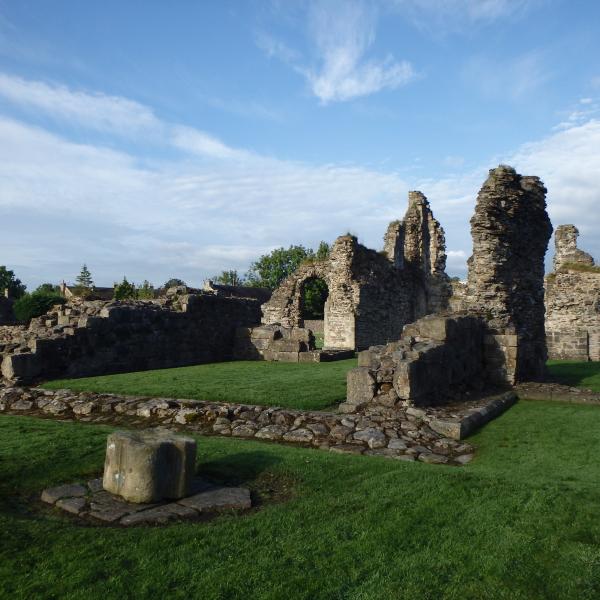
    Sawley village grew up around the ruined Sawley Abbey, on the banks of the river Ribble. Its name refers to 'the damp spot where the willows grow'. The Abbey was founded by William Percy II in 1147.

    view of Sawley Abbey
  • Scorton

    Scorton village in the parish of Nether Wyresdale, along the road from Garstang, developed around the cotton mill and railway in the nineteenth century.

    Scorton
  • Slaidburn

    Slaidburn is a picturesque grey stone village set on the banks of the Hodder in the moorland region of the Forest of Bowland National Landscape.

    Arial view of Slaidburn
  • Tosside

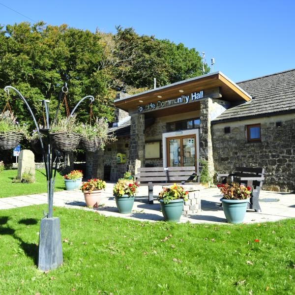
    Tosside's origins go back to the dark ages when Britain was invaded by the Vikings. It's name comes from two old Scandinavian words - 'Tod' meaning fox and 'saetr' meaning high summer pasture.

    Tosside community centre
  • Waddington

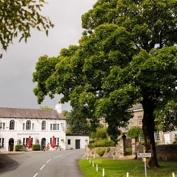
    The village gets its name from Wadda, an Anglo Saxon chief, it is home to a babbling brook and the beautiful Coronation Gardens.

    Waddington
  • Wennington

    The narrow bridge over the River Wenning marks the boundary of the old Norman Lordship of Lonsdale. Wennington Hall dates originally from the 14th century.

    view of river running into village
  • Wigglesworth

    Wigglesworth lies just outside the boundary of the National Landscape, but is on an important route linking Settle to the eastern part of Bowland.

  • Wray

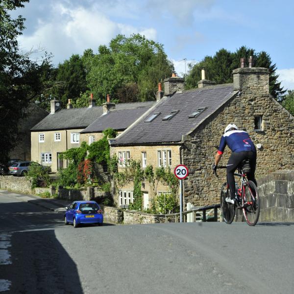
    At one time Wray was a local textile centre with silk mills, tanners and coopers, clog and basket makers, taking advantage of the fast flowing waters of the Roeburn and Wenning.

    cyclist crossing bridge with cottages in the background