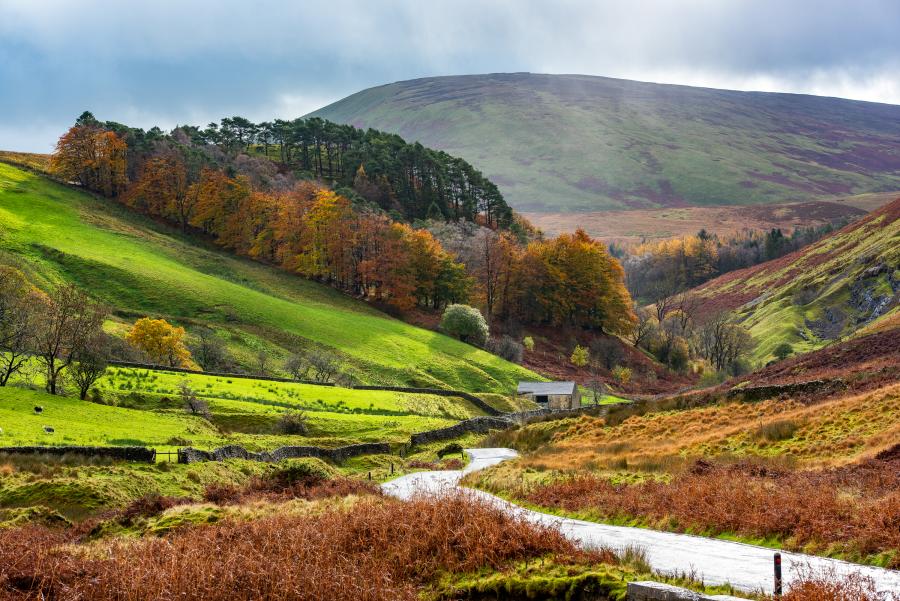
The Forest of Bowland National Landscape is working with illustrator Carla Gebhard to develop a distinctive illustrated visitor map that celebrates Bowland as a place of discovery, curiosity and connection. The project aims to create a high-quality, engaging map that encourages both residents and visitors to explore beyond the area's best-known destinations and develop a deeper understanding of the landscape, its wildlife, heritage, communities and stories.
Alongside its role as a visitor resource, the map will also act as a commemorative souvenir marking the passage of the Tour de France through Bowland in 2027. To ensure the map has a long-term legacy beyond the Tour, cycling-specific digital content will be developed separately and can be removed in future editions if required.
The finished product will be an A2 illustrated map folded to A5, with content on both sides. It will function both as a practical guide for exploration and as an attractive keepsake that visitors will want to retain and revisit.
Current work with Carla is focused on developing the map concept, identifying key stories, locations and themes to feature, and establishing an illustrative style that captures the distinctive character and sense of place of the Forest of Bowland National Landscape. The project will support wider objectives around regenerative tourism by encouraging exploration across the whole area, promoting lesser-known locations, and strengthening connections between visitors, local communities and the landscape itself.
The new map will be launched in spring 2027.
For further information contact: hetty.byrne@lancashire.gov.uk